| Capital city | Springfield |
| Biggest city | Chicago |
| Surface | 140,998 km² |
| Population | 12,671,000 |
| Length of highway network | 3,640 km |
| First highway | 1950 |
| Abbreviation | IL |
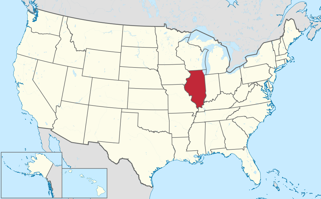
Illinois (pronunciation: ˌɪlɨˈnɔɪ) is a state in the Midwestern United States. The state has 12.6 million inhabitants (2021), largely due to the Chicago metropolitan area. The capital is the much smaller Springfield. Illinois has an area of 140,998 square kilometers, making it more than 3 times the size of the Netherlands.
Geography
Illinois is a state stretched in the north-south direction. The state measures up to 615 kilometers from north to south and 340 kilometers from west to east. Illinois clockwise borders Wisconsin, Michigan (via Lake Michigan), Indiana, Kentucky, Missouri, and Iowa. The state is mostly flat, with only limited areas of low hills, most notably in the Mississippi River valley, which forms Illinois’ western border. In the northeast, Illinois has a coastline with the large Lake Michigan, to this is the Chicago metropolitan area convenient. The Illinois landscape is mostly meadows and prairies, with forests found only around rivers and an area in the far south of the state. In addition to the Mississippi River, the mighty Ohio River forms the southern border of the state. The Ohio River handles more water at its mouth at Cairo than the Mississippi. The Illinois River is the most important river in the state. The Rock River flows through northern Illinois.
Culturally, Illinois is divided into “Chicagoland” and the rest of the state, which is then called “Downstate Illinois” and is rural in character. Formally, the state is divided into three zones, Northern Illinois, which includes Chicago, Rockford and the Quad Cities, and Central Illinois, a rural area of prairies and small towns. Peoria is the main city of this region. The southernmost region is Southern Illinois, also a rural area that includes the eastern suburbs of St. Louis.
Illinois has a varied climate due to the state being stretched in the north-south direction. The climate changes from a humid continental climate in the north to a humid subtropical climate in the south. Precipitation varies from 900 mm in the north to 1,200 mm in the south. Snow falls throughout the state in winter, especially around Chicago. However, the so-called ‘lake-effect snow’ hardly ever occurs in Chicago, because the dominant airflow comes from the west and is therefore offshore. Severe weather is frequent in Illinois, especially in the form of tornadoes and severe thunderstorms in the spring and summer.
Economy
Illinois has major economic contradictions. Downtown Chicago is prosperous with numerous large corporations and institutions. Chicago’s inner suburbs are relatively poor, especially on the south side of the city, where there used to be a lot of heavy industry. The East St. Louis region also has a lot of dilapidated industry. East St. Louis is one of the poorest cities in the United States. Outside of the Chicago area, the economy is primarily agricultural. There is a lot of manufacturing industry in the cities. The state has large reserves of coal, but these have a high sulfur content and are polluting, which is why Illinois is not a large coal-producing state. Illinois must therefore import its energy.
Demographics
Population of Illinois is distributed as followed:
| City | Population | agglomeration |
| Chicago | 2,697,000 | 9,510,000 |
| Aurora | 179,000 | |
| Joliet | 150,000 | |
| Naperville | 149,000 | |
| Rockford | 147,000 | 345,000 |
| Elgin | 114,000 | |
| Springfield | 113,000 | 212,000 |
| Peoria | 112,000 | 376,000 |
Chicago dominated the state of Illinois early on. As early as 1890, the city had a population of 1 million, more than a quarter of all Illinois residents. Chicago’s dominance has only grown in the 20th century, today 65% of all residents live in Chicago or the suburbs. Of the other 8 cities with more than 100,000 inhabitants, half are suburbs of Chicago. Outside of Chicago, the state is rural in character, with a few small towns scattered around. The capital, Springfield, is a relatively unimportant city. The largest metropolitan areas outside of Chicago are the so-called Quad Cities on the border with the state of Iowa, of which Moline and Rock Island are located in Illinois, and the eastern suburbs of St. Louis, including the city of East St. Louis. Elsewhere in the state are scattered small towns with a regional function, the most important being Rockford to the north and Peoria to the west, while Bloomington, Champaign and Decatur are also of regional importance.
From the 1960s, Illinois population growth almost came to a standstill, since 1970 the state has only grown modestly. Chicago and East St. Louis have lost many residents to other suburbs. The city of East St. Louis, in particular, is run-down and shabby. Other regional cities are also growing slowly. The suburbs of Chicago are also not growing fast anymore, with the exception of the periphery, but by American standards the periphery of Chicago is not growing fast either.
History
| Census | Population | Position |
| 1800 | 2,000 | X |
| 1810 | 12,000 | X |
| 1820 | 55,000 | #23 |
| 1830 | 157,000 | #20 |
| 1840 | 476,000 | #14 |
| 1850 | 851,000 | #11 |
| 1860 | 1,712,000 | #4 |
| 1870 | 2,540,000 | #4 |
| 1880 | 3,078,000 | #4 |
| 1890 | 3,826,000 | #3 |
| 1900 | 4,822,000 | #3 |
| 1910 | 5,639,000 | #3 |
| 1920 | 6,485,000 | #3 |
| 1930 | 7,631,000 | #3 |
| 1940 | 7,897,000 | #3 |
| 1950 | 8,712,000 | #4 |
| 1960 | 10,113,000 | #4 |
| 1970 | 11,114,000 | #5 |
| 1980 | 11,427,000 | #5 |
| 1990 | 11,431,000 | #6 |
| 2000 | 12,419,000 | #5 |
| 2010 | 12,831,000 | #5 |
| 2020 | 12,588,000 | #6 |
Illinois was mapped from the mid-17th century by European explorers, especially French from Canada. Until 1763, the region belonged to La Louisiane, part of the French Empire. This can be recognized in the many French place names in the state. It wasn’t until later in the 18th century that Illinois became somewhat populated by Europeans. In 1809 the Illinois Territory was created, and in 1818 it became the 21st state of the United States, it had a population of 50,000 at the time. The population started to grow strongly from 1830, and already reached 2.5 million inhabitants in 1870. Chicago was the largest city in Illinois from 1857 and would grow into one of the largest cities in the world at the end of the 19th century. This was mainly due to its location on the Great Lakes, which made it a transit port and an important rail hub. The population grew strongly to nearly 5 million in 1900, the industry around Chicago attracted migrants from other parts of the country. In addition, it attracted many African Americans from the south and many immigrants from southern and eastern Europe. Particularly around Chicago, many Americans of Polish descent live. By 1960 the population of 10 million had been reached, making Illinois one of the most important states politically, economically and culturally. However, growth was limited thereafter. Illinois is known as one of the most corrupt states in the country. Many senior politicians have served prison terms, including some ex-governors.