| Capital city | Augusta |
| Biggest city | Portland |
| Surface | 91,646 km² |
| Population | 1,372,000 |
| Length of highway network | 592 km |
| First highway | 1947 |
| Abbreviation | ME |
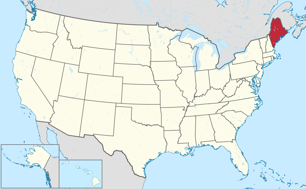
Maine is a state in the far northeastern United States. The capital is Augusta and the largest city is Portland, not to be confused with Portland in Oregon. The state has an area of 86,542 square kilometers and is therefore more than twice the size of the Netherlands. Maine has 1.3 million inhabitants (2021).
Geography
Maine is the easternmost state in the country and is located in the New England region. The state borders Canada, namely the provinces of Quebec and New Brunswick, and the US state of New Hampshire. The state measures a maximum of 380 kilometers from north to west and 330 kilometers from west to east. Maine consists mainly of low mountain ranges with a lot of forest. There are numerous lakes in the state and the northwest of the state in particular is very sparsely populated. The state’s largest rivers are the Kennebec River and Penobscot River. Maine has a long coastline on the Atlantic Ocean with numerous small islands, many of which are unpopulated. The 1,610 meter high Mount Katahdin is the highest point in Maine. The state has a humid continental climate with warm summers and cold winters with lots of snow. The average maximum temperature in Augusta is -2°C in winter and 26°C in summer.
Economy
Maine, along with Vermont, is the most rural state in the northeastern United States. Agriculture and fishing are important sectors, as is tourism. Maine is popular as a vacation destination for city dwellers in the Northeast. In the mountains are ski areas and along the coast are nature reserves such as the Acadia National Park. The state has little industry, although there are traditional shipyards, and Portland Harbor was historically the most important for Canada on the east coast, until the city of Halifax rose to prominence in the 20th century.
Demographics
Population of Maine is distributed as followed:
| City | Population |
| Portland | 68,000 |
| Lewiston | 36,000 |
| Bangor | 32,000 |
| South Portland | 25,000 |
| auburn | 23,000 |
Maine has traditionally had a slow-growing population. Even in the 19th century, the spectacular growth figures that many other American states did were not achieved. In the 1970s the limit of 1 million inhabitants was exceeded. Maine is popular among retirees or for wealthy Americans who own a second home in the state. Large parts of Maine are sparsely populated, and in the northwest are also virtually unpopulated parts, especially the border area with Québec is very sparsely populated. There are only a few larger towns, of which the port city of Portland is the most important. Augusta is only a small state capital, Bangor and Auburn/Lewiston are the main towns inland. Eastport is the easternmost city on the American mainland.
History
The first Europeans were Norwegians around 1200 who traded with Indians. The first permanent European settlement in Maine was founded in 1604 by the French. The area was then called Acadia. From 1652 the area belonged to the Massachusetts Bay Colony of the English. In the 17th and 18th centuries, conflicts were fought between the English, French and indigenous inhabitants of the area. In 1788 the area became part of the United States as part of Massachusetts. Maine seceded from Massachusetts in 1820 and became the 23rd state of the United States. However, the border with Canada was not definitively established until 1842. Maine’s capital was originally Portland, historically the largest city in the state. In 1832, the capital was moved to Augusta because it was more central to the state.
It has not been definitively established where the name Maine comes from. A logical explanation would be that the area was named after the French region of Maine, or the Maine River in northwestern France. However, this is not completely certain.