| Capital city | Montpelier |
| Biggest city | Burlington |
| Surface | 24,923 km² |
| Population | 646,000 |
| Length of highway network | 589 km |
| First highway | 1958 |
| Abbreviation | VT |
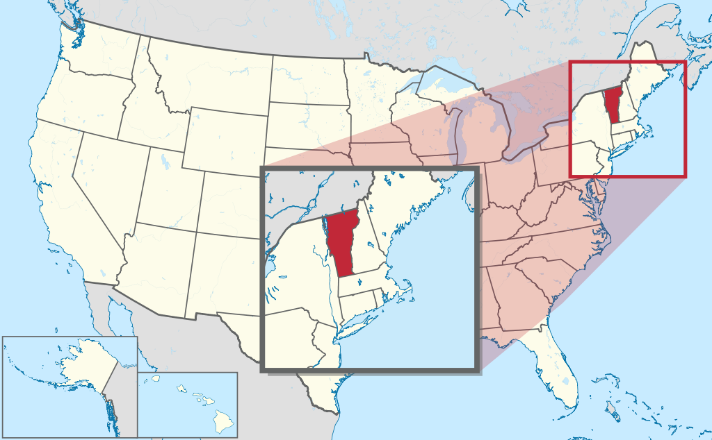
Vermont is a state in the United States. The state is located in the northeast of the country, and has 646,000 inhabitants (2021). The capital is Montpelier, the largest city is Burlington. The state has an area of 24,923 square kilometers and is more than half the size of the Netherlands.
Geography
I-91.
Vermont is a rural state in the northeastern United States, part of the New England region. The state borders Canada, on the province of Québec. It also borders the states of New Hampshire, Massachusetts and New York. The state measures a maximum of 250 kilometers from north to south and a maximum of 150 kilometers from west to east. The state is somewhat wider in the north than in the south. The state is dominated by the Green Mountains, a forested mountain range with peaks around 1,200 meters. The 1,339-meter-high Mount Mansfield is the highest point in the state. In the northwest of the state is the large Lake Champlain, on the border with New York. The Connecticut River is the state’s main river and forms the border with New Hampshire. Vermont has a humid continental climate with warm summers and cold winters. The maximum temperature in Burlington ranges from -3°C in winter to 27°C in summer.
Economy
Vermont has a stagnant economy and an unfavorable investment climate. The median income is one of the lower in the country, but the cost of living is also relatively low. Vermont has the smallest economy of any US state. The economy is mainly service-oriented, there is little industry and there is also relatively little agriculture, because much of the state is forested. Forestry used to be an important pillar. The tourism industry is an important source of income, especially for city dwellers in the northeastern United States, Vermont is a popular weekend destination. The state also has some ski areas.
Demographics
| City | Population |
| Burlington | 42,417 |
| South Burlington | 17,904 |
| Rutland | 16,495 |
Vermont is the second least populous state in the United States, just ahead of Wyoming. Population of Vermont has grown slowly numerically, from 300,000 in 1850 to 600,000 in 2000. Before the Second World War, there were also periods of slight population decline. From the 1960s to the end of the 1980s, the population grew somewhat faster, mainly due to a migration from the large cities to the countryside. Population growth almost completely stopped after 2000. The state is the second whitest in the United States, with 94% of residents in 2013 being white (and not Hispanic). Vermont has no larger cities, it is the only state that does not have cities with more than 50,000 inhabitants. Only three places in Vermont have more than 10,000 residents. Montpelier is the smallest state capital in the United States with barely 8,000 inhabitants.
History
In the first half of the 16th century, the first Europeans arrived in what is now Vermont, from French-speaking Canada. In 1666, the first European settlement was established in Vermont. In the 17th and 18th centuries the area was under the influence of both the French and British, but from 1763 it came under British rule definitively. The following year, Vermont’s boundaries were established. Between 1777 and 1791, the unrecognized independent Vermont Republic existed. In 1791, Vermont became the 14th state of the United States. The population grew quite rapidly in the early years, from 85,000 inhabitants in 1790 to 280,000 inhabitants in 1830, mainly due to migration from other parts of the country. From the 1950s onward, tourism grew in importance, but Vermont has never experienced a period of strong economic growth.