| Capital city | Columbus |
| Biggest city | Columbus |
| Surface | 116,096 km² |
| Population | 11,780,000 |
| Length of highway network | 3,630 km |
| First highway | 1954 |
| Abbreviation | OH |
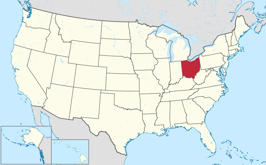
Ohio is a state in the United States. The state is generally considered the easternmost of the Midwest and has a population of 11.7 million (2021). The capital is the city of Columbus. The state has an area of 116,096 square kilometers and is therefore three times the size of the Netherlands.
| City | Population |
| Columbus | 907,000 |
| Cleveland | 368,000 |
| Cincinnati | 309,000 |
| Toledo | 269,000 |
| Akron | 189,000 |
| Dayton | 138,000 |
Geography
Ohio belongs to the Midwest and is its easternmost state. It is located on Lake Erie, which forms the border with Canada ( Ontario ). The state further borders Pennsylvania, West Virginia, Kentucky, Indiana, and Michigan. The state measures a maximum of 360 kilometers from west to east and 360 kilometers from north to south. The Ohio River, after which the state is named, forms the southern border of the state. Other rivers are small, only the Scioto River and Maumee River are slightly larger rivers.
The state is flat with prairies in the west and center, flat with more forest in the east, and hilly and forested in the southeast. The landscape is therefore diverse, although Ohio has no really high mountains, the 472-meter high Campbell Hill is the highest point in the state. Lake Erie is so large that it is practically a shoreline.
Ohio has a humid continental climate with cold winters and warm summers. The south is somewhat warmer than the north. The average maximum temperature in Columbus is 3°C in winter and 29°C in summer. The state is prone to what’s called “lake-effect snow,” when air currents over Lake Erie produce large amounts of snow in the northeast of the state. In addition, tornadoes occasionally occur, but less than in more western states.
Demographics
| Census | Population | Position |
| 1800 | 45,000 | X |
| 1810 | 231,000 | #13 |
| 1820 | 581,000 | #5 |
| 1830 | 938,000 | #4 |
| 1840 | 1,519,000 | #3 |
| 1850 | 1,980,000 | #3 |
| 1860 | 2,340,000 | #3 |
| 1870 | 2,665,000 | #3 |
| 1880 | 3,198,000 | #3 |
| 1890 | 3,672,000 | #3 |
| 1900 | 4,158,000 | #4 |
| 1910 | 4,767,000 | #4 |
| 1920 | 5,759,000 | #4 |
| 1930 | 6,647,000 | #4 |
| 1940 | 6,908,000 | #4 |
| 1950 | 7,947,000 | #5 |
| 1960 | 9,739,000 | #5 |
| 1970 | 10,652,000 | #6 |
| 1980 | 10,798,000 | #6 |
| 1990 | 10,847,000 | #7 |
| 2000 | 11,353,000 | #7 |
| 2010 | 11,537,000 | #7 |
| 2020 | 11,693,000 | #7 |
Ohio has a demographic close to the US average. The state has a relatively large number of major cities, and three metropolitan regions, Cincinnati, Cleveland, and Columbus are about the same size. Cincinnati is often credited as the first truly American city, it was the first major city to be developed inland, with less European influence. Ohio grew very rapidly in the first half of the 19th century, from 45,000 inhabitants in 1800 to 2 million inhabitants in 1850. Population of Ohio has grown steadily since then, with no extreme spikes, although growth has leveled off since the 1970s. In the 1960s, Ohio crossed the 10 million mark. The flattening of growth thereafter prevented Ohio from becoming a truly dominant state.
Economy
Ohio has a very diverse economy and is often seen as reflecting the US average. Almost all sectors are strongly represented. Geographically, the state is largely made up of agricultural areas, but has a number of strong urban economies. The city of Cleveland is one of the larger ‘Rust Belt’ cities, but with cities further south it is doing much better economically. No sector in Ohio dominates, making the state less affected by economic fluctuations than states that rely heavily on one sector. Ohio scores around the US average on many indicators.
History
In the 18th century, Ohio was the scene of struggle between the French and the British. In 1763, France ceded control to the British through the Treaty of Paris. In 1787, the Northwest Territory was organized. This included the entire Great Lakes region east of the Mississippi River, north of the Ohio River, and up to the border with Canada. Ohio became the 17th state of the United States in 1803. At the time, the area was still sparsely populated, but that would not remain so for long, cities were founded all over Ohio that quickly grew into industrial centers. Ohio’s location between the older cities to the east and fast-growing Chicago in the west caused rapid population growth. In a short time, almost all the land was cultivated. After World War II, the importance of heavy industry declined, which mainly affected northern Ohio, with Cleveland and Youngstown in particular entering a long period of contraction. This was the case to a lesser extent in Cincinnati, and Columbus has come through deindustrialization best.