| Capital city | Columbia |
| Biggest city | Charleston |
| Surface | 82,932 km² |
| Population | 5,191,000 |
| Length of highway network | 1,490 km |
| First highway | 1957 |
| Abbreviation | SC |
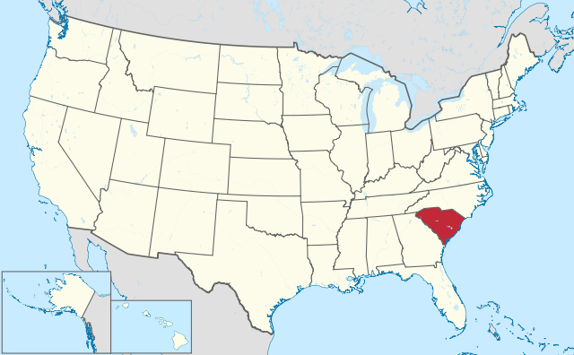
South Carolina is a state in the United States. The state is located on the Atlantic Ocean and has 5.1 million inhabitants (2021). The capital is Columbia, the largest city is Charleston. The state has an area of 82,931 square kilometers and is twice the size of the Netherlands.
Geography
South Carolina is located in the southeastern United States, on the Atlantic Ocean. The state borders North Carolina and Georgia and measures a maximum of 350 kilometers from north to south and 450 kilometers from west to east. The state is roughly in the shape of a triangle. South Carolina is mostly quite flat, except the extreme northwest which is a bit more hilly. Large areas of the state are densely forested, with swamps especially in the center and southeast. The major rivers are the Savannah River, which forms the border with Georgia, the Santee River, which is formed by the Congaree and Wateree Rivers, and the Great Pee Dee River to the east. The coastline consists of bays and estuaries with wetlands and swamps. Some coastal areas also have beaches, most notably The Grand Strand in the east of the state.
The state has a warm and humid subtropical climate, with mild winters and hot summers. The average maximum temperature in Columbia is 13°C in winter and 34°C in summer. The state is prone to the impact of hurricanes.
Economy
South Carolina is an economic growth state, mainly due to the presence of the Port of Charleston, it is the second largest port in the southeastern United States after the Port of Savannah. This is also the main competitor. However, there are no major companies in the United States that have their headquarters in South Carolina. Tourism plays an important role in South Carolina, mass tourism is mainly found on the coast, especially around Myrtle Beach and Hilton Head Island. Inland, the wildlife areas also attract tourists, especially Congaree National Park.
Demographics
| City | Population |
| Charleston | 152,000 |
| Columbia | 138,000 |
| North Charleston | 117,000 |
| Mount Pleasant | 92,000 |
Population of South Carolina has significant growth. In 1890, the state passed the 1 million mark, and the 2 million mark was crossed in 1950. Between 1970 and 2015, the population almost doubled. The largest growth hub is Charleston and South Carolina is also loved by retirees from the Northeast for its attractive climate and low house prices.
The state has several larger urban areas, although the center cities are relatively small in relation to the metropolitan area. The port city of Charleston is located on the coast. In the center is the capital Columbia and to the northwest is the city of Greenville. The nearby towns of Anderson and Spartanburg are also larger towns and make the northwest part of the state relatively densely populated. Some of Charlotte ‘s suburbs are also in South Carolina. There are also some suburbs of Augusta in South Carolina. However, the border town of Savannah has no suburbs in South Carolina. In addition, the state has some smaller cities, such as Myrtle Beach, Florence, Sumter and Aiken.
History
The first Europeans in what is now South Carolina were Spaniards in the early 16th century. In 1526 the Spaniard Lucas Vázquez de Ayllón founded the first European settlement in what is now the United States. This was called San Miguel de Guadalupe and was near where the town of Georgetown is now located. In the early 17th century, the area was claimed by England as the Carolina region, named after King Charles. In 1729 Carolina split into a northern and southern part. In 1788, South Carolina became the 8th state of the United States. Charleston was an important colonial city. This would later develop into the state’s main urban area. The city was also the starting point of the American Civil War, when the first shots were fired at Fort Sumter in Charleston Harbor in 1861. The infrastructure of the state was largely destroyed during the civil war. Columbia burned down almost completely. After the civil war, the state was dominated by racial segregation. Many African Americans migrated to the industrial north of the United States in the early 20th century, and it was not until the 1930s that whites predominated in South Carolina. In the 21st century, the state attracts many companies from other regions because of its attractive tax environment.