| Capital city | Providence |
| Biggest city | Providence |
| Surface | 4,002 km² |
| Population | 1,096,000 |
| Length of highway network | 195 km |
| First highway | 1953 |
| Abbreviation | RI |
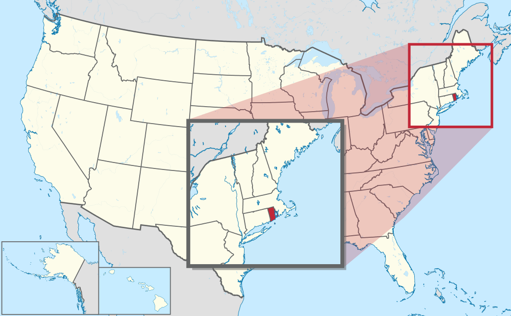
Rhode Island is the smallest state in the United States. The state is located in the northeast and has 1 million inhabitants (2021). The capital is Providence. The state has an area of 4,002 kilometers, the size of a Dutch province.
I-95 at Downtown Providence.
Geography
Rhode Island is located in the northeastern United States on the Atlantic Ocean. The state is named after Rhode Island, an island off the Rhode Island Sound and Narragansett Bay, south of the state capital Providence. The state has a relatively long coastline and is not called “the ocean state” for nothing. The state measures a maximum of 60 kilometers from east to west and 75 kilometers from north to south. The island of Block Island also belongs to the state. Rhode Island is mostly flat and densely forested. The state has a humid subtropical climate, with warm summers and cold winters with lots of snow. The average maximum temperature in Providence is 3°C in winter and 28°C in summer.
Economy
Rhode Island’s economy is based primarily on services, especially semi-government and financial institutions. The manufacturing industry used to be more important than today, but is still of some importance. The economy is heavily based on that of the capital Providence. There is also some tourism along the coast. The state has long had an unfavorable tax environment, with the highest taxes in the United States, but the tax level has been reduced somewhat since 2010 to allow the state to better compete with other states in the region.
Demographics
| City | Population |
| Providence | 190,000 |
| Warwick | 83,000 |
| Cranston | 82,000 |
| Pawtucket | 75,000 |
| East Providence | 48,000 |
Population of Rhode Island grew quite slowly at first, from 69,000 in 1790 to 217,000 in 1870. After that, a growth spurt began, especially in and around Providence. However, growth leveled off sharply from the 1960s onwards. In 1910, the state crossed the 0.5 million population threshold, but it took until 1990 to reach the 1 million population threshold. After 2000, growth almost completely stopped.
The city of Providence dominates the state in every way, almost all larger towns in Rhode Island are suburbs of Providence. The eastern half of the state is highly urbanized, but the western half is relatively sparsely populated.
History
In the early 17th century, the area that later became Rhode Island was settled by Englishmen from the Boston area. Providence was founded in 1636. Rhode Island was the first of the Thirteen Colonies to sever ties with the British Crown in 1776. However, in 1790, it was the last of the Thirteen Colonies to become a state of the United States. The Industrial Revolution in Rhode Island was one of the first in the United States in the 18th century. In the 19th century the state started to industrialize, although it never grew into a state with a lot of heavy industry. Population growth was particularly concentrated in Providence and the suburbs, as well as the attractive islands around Narragansett Bay.