| Capital city | Olympia |
| Biggest city | Seattle |
| Surface | 184,827 km² |
| Population | 7,738,000 |
| Length of highway network | 1,555 km |
| First highway | 1940 |
| Abbreviation | WA |
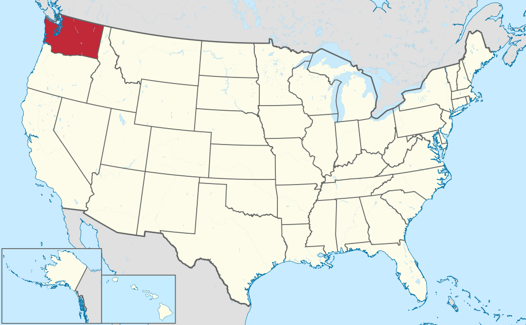
Washington is a state in the northwestern United States. The state’s nickname is the Evergreen State, and its capital is Olympia. The largest city is Seattle. The state itself has 7.7 million inhabitants (2021). The state is often referred to as Washington State, to distinguish it from the capital Washington, DC
Geography
I-90 at the Columbia River.
Washington is part of the Pacific Northwest region, and is located on the Pacific Ocean. The state has a long border with Canada, on the province of British Columbia, and further borders the states of Idaho to the east and Oregon to the south. Washington measures a maximum of 570 kilometers from west to east and 380 kilometers from north to south. Major ridges are located in Washington, including the Cascade Range in the interior to the west and the Olympic Mountains to the northwest. Several high mountains are volcanic. The 4,392-meter-high Mount Rainier is the highest point in the state.
The state has great contradictions between the west and east. The west is forested and wet, with rainforests and glaciers. The east is much drier and consists largely of barren steppe or circular irrigation. The main river in the state is the Columbia River, which largely forms the border with Oregon. The Snake River is a major tributary in the east of the state, as are the Spokane River and Pend Oreille River. Washington’s major rivers are largely dammed with elongated reservoirs. Major lakes include Lake Roosevelt, Lake Chelan, and Lake Wallula.
To the west of the state is the Pacific coastline, with the Strait of Juan de Fuca separating the state from Canada’s Vancouver Island, on which the city of Victoria is located. The Strait of Georgia separates Vancouver Island from the mainland, which includes mainland Washington to the east. The Puget Sound forms a wide bay around which the metropolitan area of Seattle is located. The coastline consists of bays and fjord-like inlets.
There are several national parks in Washington, such as Olympic National Park, Mount Rainier National Park and North Cascades National Park. Also known are the Mount Saint Helens National Volcanic Monument and the Columbia River Gorge National Scenic Area. Numerous small state parks are scattered throughout the state.
Washington has the greatest climatic contradictions of the United States. The west has a wet and mild maritime climate, but the east is much drier and has a dry continental climate, almost a desert climate. The average maximum temperature in Seattle is 8°C in winter and 24°C in summer. In eastern Spokane it is 1°C in winter and 28°C in summer.
Economy
Washington is one of the most developed states in the country. There is a lot of high tech and IT industry in and around Seattle, as well as the aviation sector, including Boeing in Everett. In the east, a lot of energy is generated by hydropower by the dams of the Columbia River. This also allows for large-scale irrigation in the otherwise arid eastern part of the state, making it a productive agricultural area. Well-known companies in Washington include Boeing, Paccar, Microsoft, Amazon, Starbucks and Costco.
Demographics
| City | Population |
| Seattle | 734,000 |
| Spokane | 229,000 |
| Tacoma | 219,000 |
| Vancouver | 192,000 |
| Bellevue | 149,000 |
| Knows | 135,000 |
| Everett | 111,000 |
Population of Washington grew rapidly in the second half of the 19th century, from just 1,200 residents in 1850 to 1.1 million residents in 1910. In the 20th century, Washington grew rapidly, surpassing the 5 million population mark in the 1990s and 7 million around 2015. The state has a diverse population, with relatively many Hispanics and Asians. The number of African Americans is clearly below the American average. The Seattle area, in particular, has a diverse population.
By far the largest metropolitan agglomeration in Washington is the metropolitan area of Seattle, a north-south stretched urban area along the Puget Sound. The entire corridor from Olympia to the border with Canada is densely populated. The Portland, Oregon metropolitan area also has some Washington suburbs, including the city of Vancouver, which should not be confused with Vancouver, British Columbia. In the east, Spokane is the largest city, furthermore there are regional cities such as Yakima, Kennewick, Pasco, Richland and Walla Walla.
History
Washington was one of the last areas in North America to be mapped by Europeans. In 1775, a group of Spaniards landed on the coast of Washington. Lewis and Clark’s legendary expedition passed through Washington in 1805. The region was a dispute between the British and Americans, who both claimed control of the area, although there were hardly any permanent European settlements at the time. In 1846, the definitive border between Canada and the United States established in the Pacific Northwest. From 1843, Washington became a major destination for migrants from the east, who traveled west via the Oregon Trail. The area belonged to the Oregon Territory for some time, until the Washington Territory was organized in 1853. It also included parts of Idaho, Montana, and Wyoming. In 1863, the definitive eastern boundary was established with the creation of the Idaho Territory.
In 1889 Washington became the 42nd state of the United States. At that time, Washington began to industrialize, particularly around the Puget Sound, where several industrial towns grew up around Seattle. In the 1930s, a series of reservoirs in the Columbia River were built to provide much of the state’s energy supply and allow irrigation in the steppe of eastern Washington. In 1980 the volcano Mount St. Helens erupted. Part of the mountain collapsed, killing 57. The eruption created concerns around Mount Rainier, which is closer to Seattle and also covered in glaciers. A major eruption could trigger massive mudslides through the Puyallup River Valley in the southern Seattle region.